KENYA ROADS BOARD (KRB) MAP PORTAL | krb

KENYA ROADS BOARD (KRB) MAP PORTAL

Menu
  • title
    Welcome

    Welcome to Kenya Roads Board Map Portal


  • About Us

    The Kenya Roads Board (KRB) was established through an Act of Parliament, KRB ACT No. 7, in 1999 and was given presidential assent on 6th January 2000 . KRB's mandate is to oversee the road network in Kenya and thereby coordinate its development, rehabilitation and maintenance and to be the principal adviser to the Government on all matters related thereto. Read more

  • Disclaimer

    The maps on this portal were created using Roads Inventory and Conditions data collected by Kenya Roads Board (KRB) through a national survey in 2018. The National boundary was sourced from Survey of Kenya, County boundaries from the Independent Electoral and Boundaries Commission and National Parks & Reserves boundaries from Kenya Wildlife Service. These data is not an authority on delimitation of boundaries. Primary sources from which this data was compiled must be consulted for verification. 


    KRB makes no express or implied warranties concerning the data provided or included in their publication and compilation of data particularly no warranty of accuracy or fitness for a particular purpose or use and no warranty against infringement of the proprietary or other rights of third parties. KRB shall not be liable for any damages or losses whatsoever in respect of data and / or third parties use of the data.


    KRB is not responsible for any errors made by inappropriate use the data and publications or for errors in interpretations and conclusions resulting from erroneous use of the data. Users are invited to notify KRB of any technical or data incoherence or errors that they may encounter

  • Terms and Conditions

    Copyright


    All the content, logos and design of data and products, and any accompanying materials provided by Kenya Roads Board (KRB) on this portal are the property of, and copyrighted by KRB. Reproducing portions of, or in its entirety, the contents of data and documents, without getting prior written consent from KRB is prohibited.


    Use of the acquired data/ documents is limited to the purposes identified in the communication asking for the consent. The consent provided by KRB is a one-time consent, which elapses as soon as the data and documents are used for the stated purposes. The data for which consent is provided can be used for analytical purposes, manipulated and transformed.


    The use of the data / documents or anything else from KRB has to clearly identify the source of information as "Kenya Roads Board'. All data acquired / purchased from KRB are owned by KRB. Purchase of the data in any form does not transfer ownership to purchaser under any circumstances


    Transfer Restrictions


    The use of KRB data/ documents is strictly limited to official use of the individual/ institution acquiring the data. The contents, partial or in their entirety, in published or digital/ electronic form, cannot be transferred, made available, sold to third parties or be commercially exploited in any way nor can they be used for publicity or propaganda purposes.

title

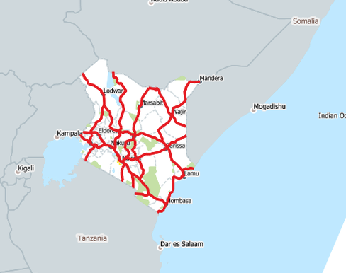
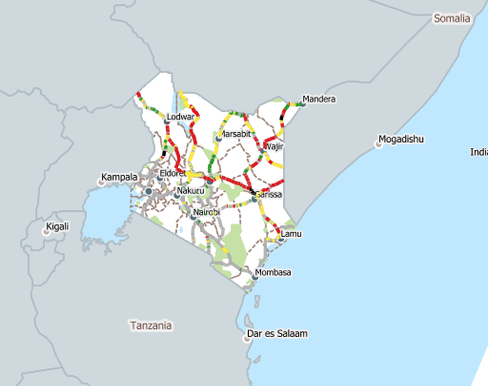
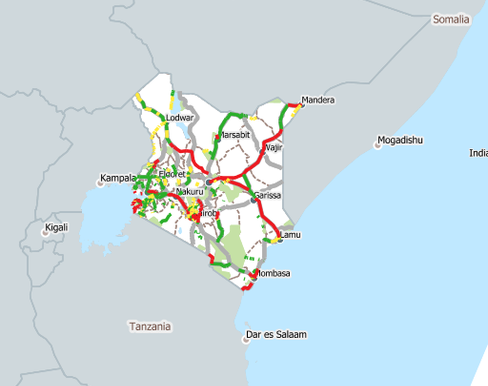
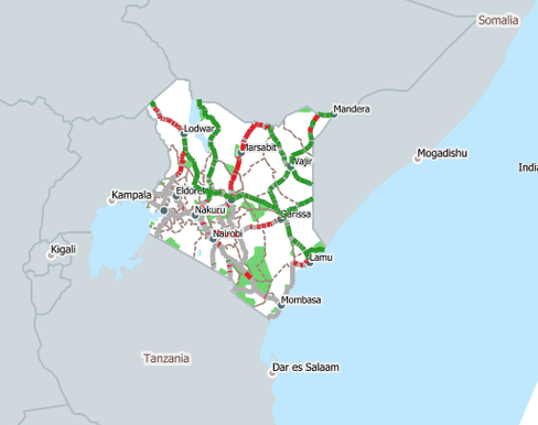
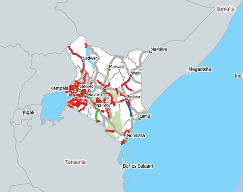
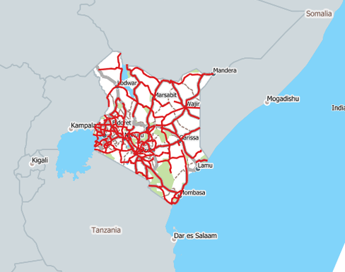
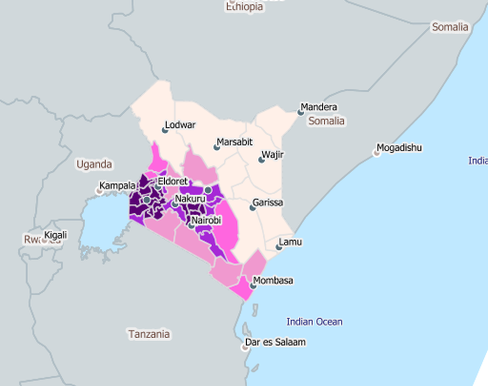
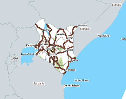
WELCOME TO KRB MAP PORTAL

The Portal Provides a Convenient Access to Data and Information on the Road Network of Kenya

NOTE: The interactive maps can be viewed on computers and mobile devices using common browsers and operating systems. For best experience with the geolocator tool use Google Chrome or Mozilla Firefox

Maps
Data
1-ROAD-NETWORK-CLASSIFICATION-

1. ROAD NETWORK CLASSIFICATION

This is a representation of classification of Kenya's road network gazetted in January 2016 (Kenya Gazette Supplement No. 4 of 2016). The Classification System defines roads in two classe; National Trunk Roads and County Roads as provided for in the Constitution 2010
2-ROAD-NETWORK-CONDITIONS-MAP

2. ROAD NETWORK CONDITIONS MAP

The Map contains information of latest conditions of Kenya's road network (State of our roads). The data was collected through a Road Inventory and Conditions Survey (RICS) in 2018. It also has an additional function, 'The Mwananchi Road Policing Map' which enables road users to send a report on road maintenance issues. To send a report click on the affected road section
3-CAPITAL-ROAD-PROJECTS-DEVELOPMENT-2013-TO-DATE

3. CAPITAL ROAD PROJECTS (DEVELOPMENT): 2013 TO DATE

This is information on major road development projects undertaken by the National Government since 2013
4-ANNUAL-PUBLIC-ROADS-PROGRAMME-APRP-FY-2019-20

4. ANNUAL PUBLIC ROADS PROGRAMME (APRP) FY 2019/20

Map contains data on Annual Public Roads Programme (APRP) FY 2019/20
5-ROAD-SECTOR-INVESTMENT-PROGRAMME-RSIP-

5. ROAD SECTOR INVESTMENT PROGRAMME (RSIP)

Map contains data on Roads Sector Investment Programme (RSIP)
6-ANNUAL-PUBLIC-ROADS-PROGRAMME-APRP-FY-2020-21

6. ANNUAL PUBLIC ROADS PROGRAMME (APRP) FY 2020/21

Map contains data on Annual Public Roads Programme (APRP) FY 2020/21
1-ROAD-NETWORK-CLASSIFICATION-

1. ROAD NETWORK CLASSIFICATION

1. ROAD NETWORK CLASSIFICATION

This is a representation of classification of Kenya's road network gazetted in January 2016 (Kenya Gazette Supplement No. 4 of 2016). The Classification System defines roads in two classe; National Trunk Roads and County Roads as provided for in the Constitution 2010

2-ROAD-NETWORK-CONDITIONS-MAP

2. ROAD NETWORK CONDITIONS MAP

2. ROAD NETWORK CONDITIONS MAP

The Map contains information of latest conditions of Kenya's road network (State of our roads). The data was collected through a Road Inventory and Conditions Survey (RICS) in 2018. It also has an additional function, 'The Mwananchi Road Policing Map' which enables road users to send a report on road maintenance issues. To send a report click on the affected road section

3-CAPITAL-ROAD-PROJECTS-DEVELOPMENT-2013-TO-DATE

3. CAPITAL ROAD PROJECTS (DEVELOPMENT): 2013 TO DATE

3. CAPITAL ROAD PROJECTS (DEVELOPMENT): 2013 TO DATE

This is information on major road development projects undertaken by the National Government since 2013

4-ANNUAL-PUBLIC-ROADS-PROGRAMME-APRP-FY-2019-20

4. ANNUAL PUBLIC ROADS PROGRAMME (APRP) FY 2019/20

4. ANNUAL PUBLIC ROADS PROGRAMME (APRP) FY 2019/20

Map contains data on Annual Public Roads Programme (APRP) FY 2019/20

5-ROAD-SECTOR-INVESTMENT-PROGRAMME-RSIP-

5. ROAD SECTOR INVESTMENT PROGRAMME (RSIP)

5. ROAD SECTOR INVESTMENT PROGRAMME (RSIP)

Map contains data on Roads Sector Investment Programme (RSIP)

6-ANNUAL-PUBLIC-ROADS-PROGRAMME-APRP-FY-2020-21

6. ANNUAL PUBLIC ROADS PROGRAMME (APRP) FY 2020/21

6. ANNUAL PUBLIC ROADS PROGRAMME (APRP) FY 2020/21

Map contains data on Annual Public Roads Programme (APRP) FY 2020/21

Disclaimer

These Maps were created using Roads Inventory and Conditions data collected by Kenya Roads Board (KRB) through a national survey in 2018. The National boundary was sourced from Survey of Kenya, County boundaries from the  Independent Electoral and Boundaries Commission and National Parks & Reserves boundaries from Kenya Wildlife Service. The datasets on this portal are not an authority on delimitation of boundaries. Primary sources from which this data was compiled must be consulted for verification of information contained in this data.

Copyright © KRB, 2021